SpatialLandscape-ecologySpatial-patternsSpatial-machine-learningMsca-pfEarth and related Environmental Sciences
Published
Author Jakub Nowosad

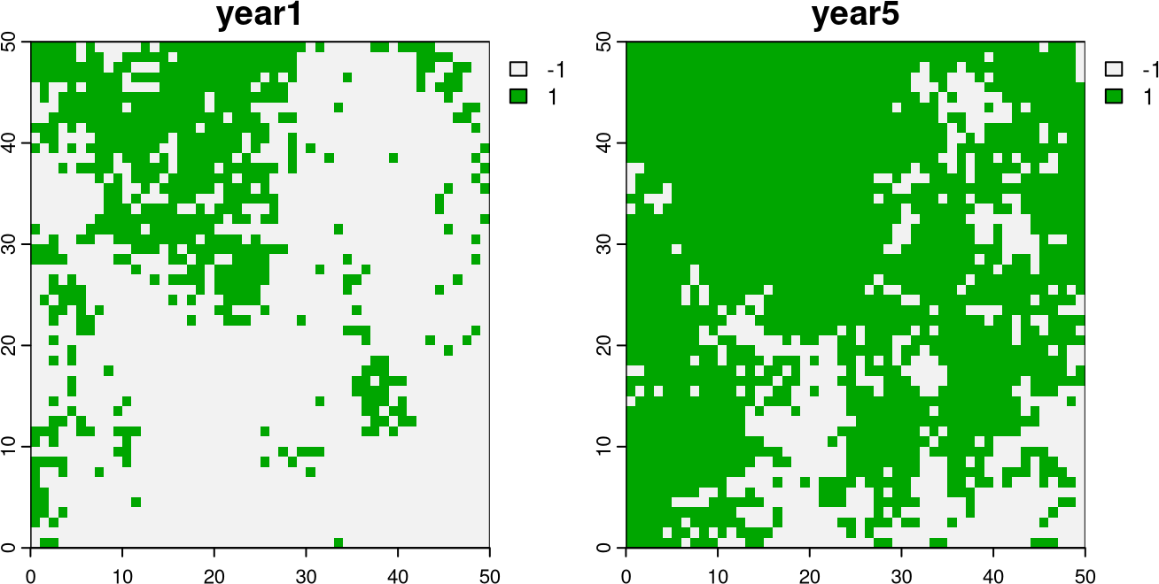
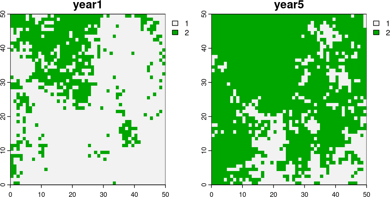
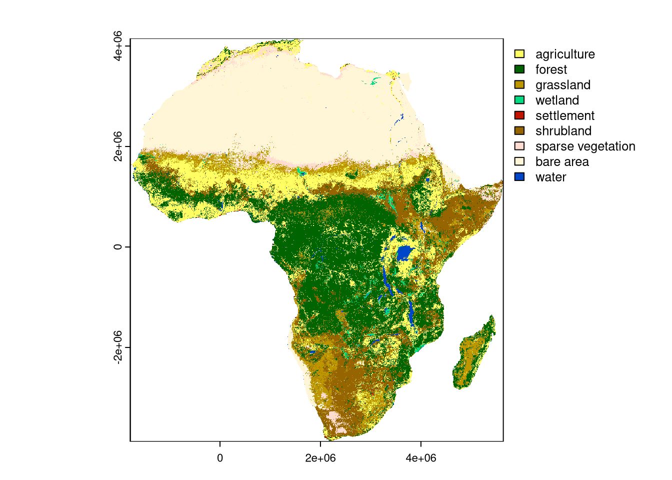
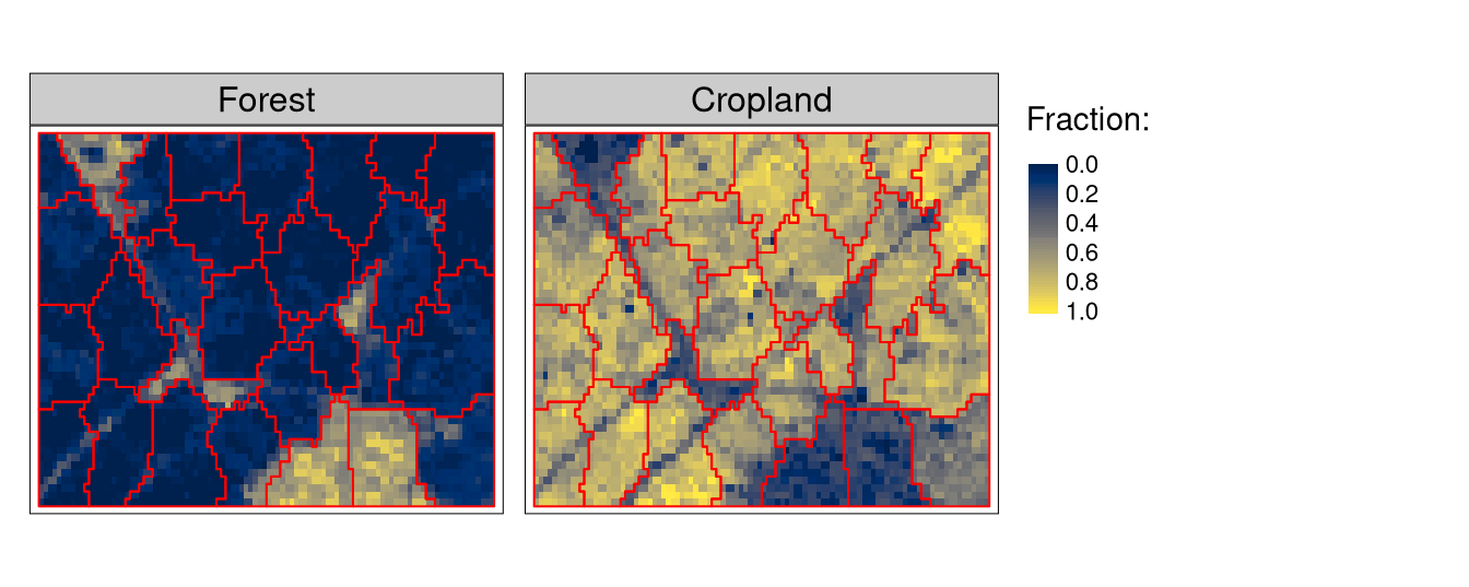
I received a grant from the Marie Skłodowska-Curie Actions Postdoctoral Fellowships (MSCA-PF) program: between August 2024 and August of 2026, I will be at the University of Muenster, Germany, working on a project named PRISM: PReservation and RecognItion of Spatial patterns using Machine learning . The project’s primary goal is to develop and compare methods for validating and including spatial patterns in machine learning.