SpatialLandscape-ecologySpatial-patternsSpatial-machine-learningMsca-pfInglese
Pubblicato
Autore Jakub Nowosad

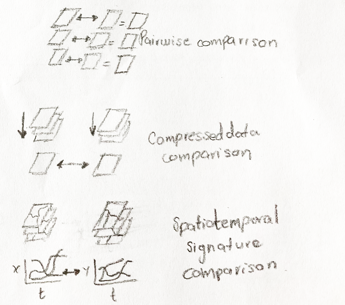
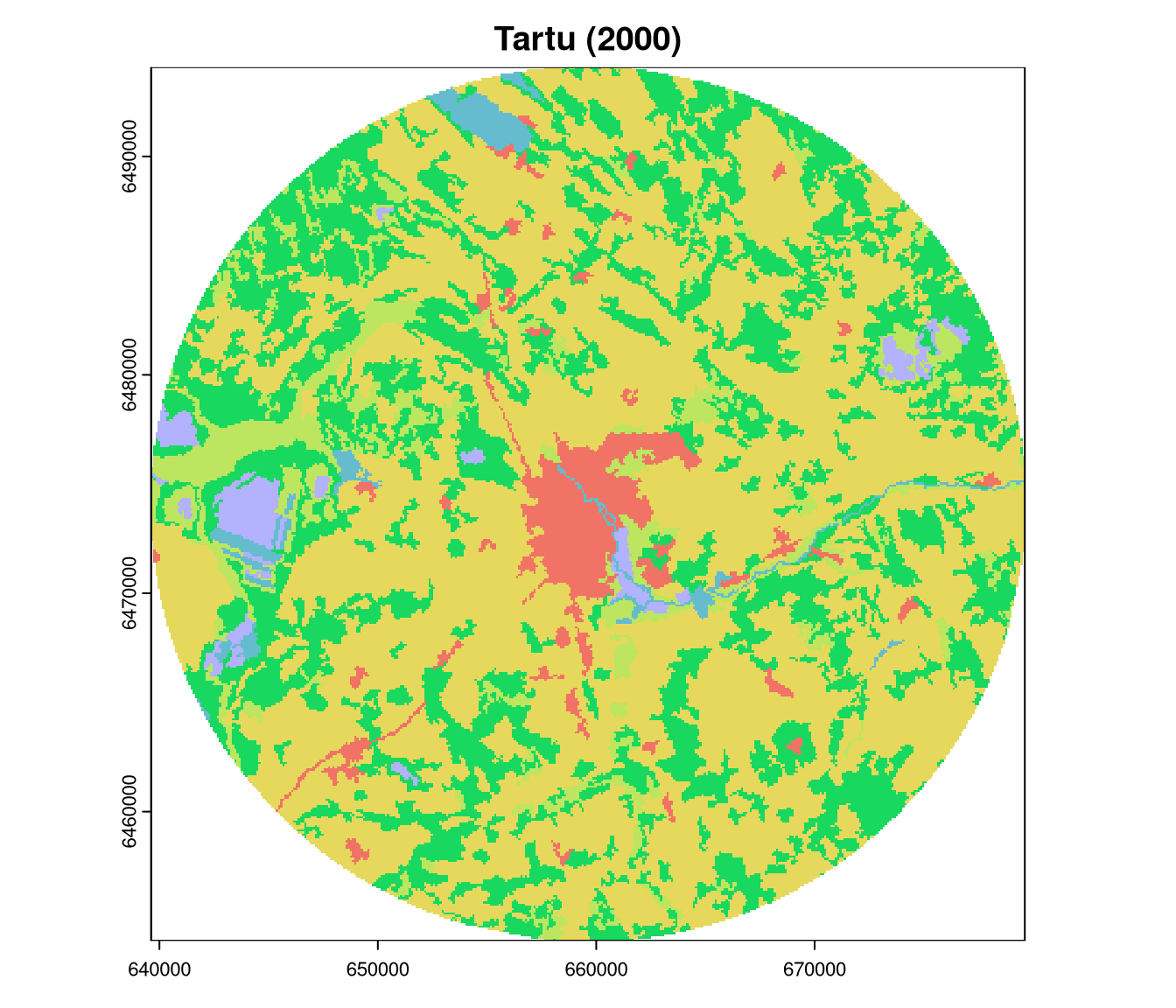
Time flies, and I am now much closer to the end of the PRISM ( PReservation and RecognItion of Spatial patterns using Machine learning ) project than to its beginning. 1 . The project’s primary goal is to develop methods for validating and including spatial patterns in machine learning. In this blog post, I summarize the project’s progress from April 2025 to February 2026 and share related outputs and activities.