PostsRstatsPythonUpdatesAnglais
Publié
Auteur Jakub Nowosad
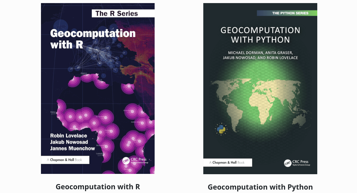
The geocomp x project provides open-source, open-access resources for learning and teaching about geocomputation in multiple programming languages. The year 2025 was special for the project, marked by various milestones and progress. This post summarizes the key updates from 2025, outlines the current work in progress, and speaks on how you can support the project.